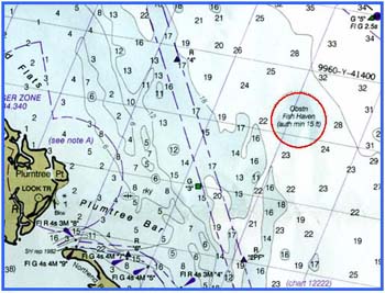

This is a circular reef site located 3 nautical miles E of Plumtree Point between Back River and the Poquoson River.
Forty concrete igloos have been placed on the bottom 50 ft. apart in an "X" shaped pattern. The legs of the "X" run NW - SE and NE - SW.
Concrete tetrahedrons have been placed along each side of the north legs while concrete pipe, girders and clusters augment the south legs.
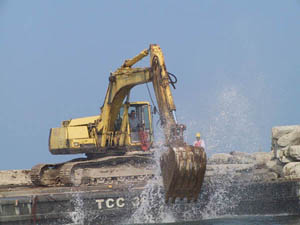
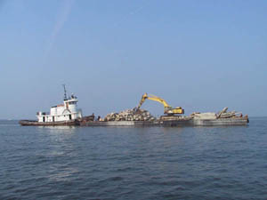
In 2005, 2400 tons of concrete bridge sections and piles were added to the existing concrete pier rubble and pipe. The center of this reef site is marked with a yellow VMRC buoy designated "BR".